
Finding People Along a Pomona Street
A street search should begin with the smallest stable unit: one address. In Pomona, the county Assessor can turn that address into an AIN and parcel detail. The parcel map can then show the lots beside it. The deed route adds a recorded owner trail, while a voter status check is limited to the person who can enter the required private data. For an older street, a city directory or criss-cross section can add listed adults and businesses in street-number order.
- Enter the exact Pomona address in the Los Angeles County Assessor Portal; save the AIN, situs, parcel type, and legal-description clues.
- Open the county parcel map, select the subject parcel, and note the AINs touching or facing it.
- Use the AIN and tract or lot clues to request a deed from the Los Angeles County Registrar-Recorder/County Clerk.
- Use the LA County voter-status tool only for an eligible self-check, not as a street roster.
- For past households, compare Pomona directories, the reverse street section, census schedules, and obituary or probate leads.
The chain is address → AIN → parcel detail → recorded parties → historical household evidence. Stop when the record answers the question. Do not turn an owner result into a claim about everyone who lives at a place.
Search a Pomona Address by AIN
The Assessor portal has an unusual but useful split. Its public basic search accepts an AIN or street address, with nearest cross streets helping when the address is hard to match. A legal-search tab, map-search tab, and legacy Assessor Internet route provide alternate ways to reach parcel information. No owner-name field appears in the public web display. Official help says ownership is available in person at a district office or through a paid data product.
Save the parcel data before leaving the result. The public categories can include property information, roll values, building description, property boundary description, recent parcel change activity, and limited recent sale information. The county says the public boundary description is an internal assessment description. A deed is still needed for the actual legal description.
The Assessor help capture documents the search controls used by a Pomona street directory workflow.
Read the Assessor map and search help before comparing the captured field guide with the live parcel route.
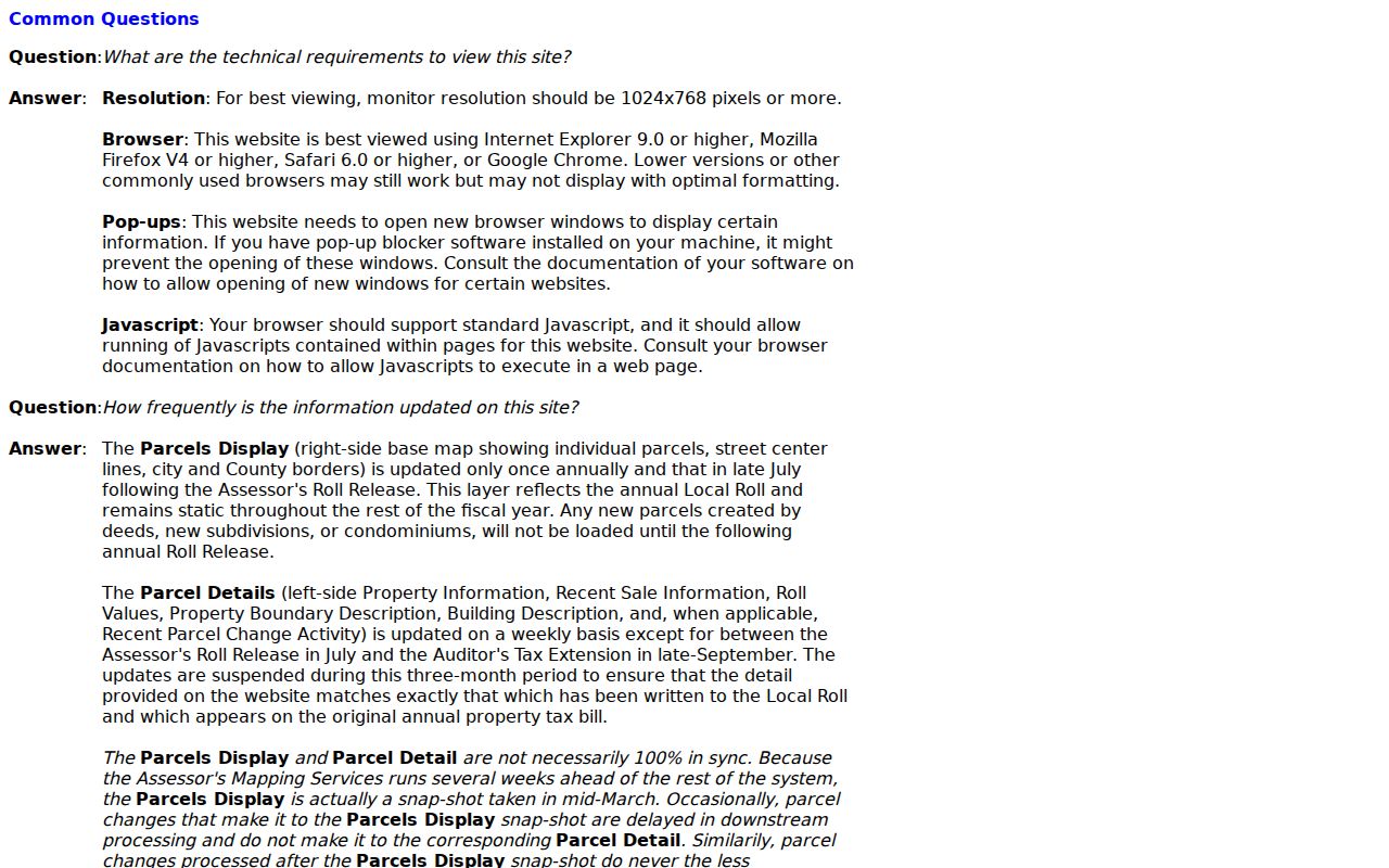
The visible address and map controls explain why a street directory search is parcel-first rather than owner-name-first.
| Field or Control | Type | Required | Pomona Use |
|---|---|---|---|
| Search by AIN or Address | Text or autocomplete | Yes | Enter the AIN or exact street address |
| Basic Search | Button or tab | No | Public address and AIN route |
| Legal Search | Tab | No | Legal-description-oriented route |
| Map Search | Tab | No | Browse and select parcels |
| Assessor Internet | Tab | No | Legacy or alternate information path |
The Pomona parcel detail inventory can include these result groups:
- AIN, full situs, mapped parcel, parcel type, use, active or deleted status
- Roll preparation, current-roll, base, land, improvement, and total values
- Building and land overview, units, bedrooms, baths, square footage, and effective year where applicable
- Property boundary description, land characteristics, zoning, sewer, traffic, corner, and impairment flags
- Recent sale information or change activity when the county has processed the relevant event
Browse Pomona Parcels Block by Block
The Los Angeles County Assessor GIS viewer is the street-browse tool. Search an address or AIN, center the map, click the parcel, and then pan along the block. Parcel shapes and adjacent AINs give the street directory its structure. They do not prove who occupies a building, and they do not replace a survey or a recorded legal description.
Corner parcels, multi-unit buildings, and places near a city edge deserve a second look. The postal unit may not match the assessor situs. A parcel can have a frontage on one street and an address keyed to another. A map can also show a parcel before the detail page reflects a newer change because the map and detail system use different update cycles.
The captured GIS view shows how one parcel becomes a starting point for the surrounding block.
Open the Los Angeles County parcel map to compare the map with the Pomona address record.
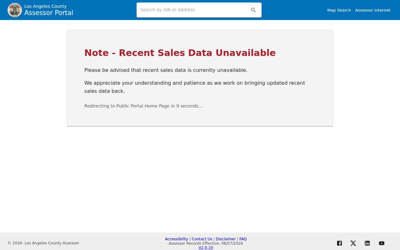
Click each parcel separately. A visual neighbor is a geographic relationship, not a shared ownership or household result.
Note: The Assessor warns that parcel maps are assessment tools and aerial overlays may not match ground boundaries.
Separate Pomona Address Types
Three address terms keep a Pomona street directory search from drifting. Situs is the physical location used for parcel identification. Mailing address is where tax or assessment notices are sent. Legal description is the recorded land identity, often using a tract, lot, block, or other description. They may match, but they do not mean the same thing.
Record all three when the portal exposes them. A different mailing address can signal a fiduciary, a nonoccupying owner, or a preferred delivery address. A matching mailing and situs address may suggest a connection but does not prove occupancy. The county's homeowners' exemption can be an owner-occupancy clue, not a household roster.
- Parcel
- A mapped unit of land tied to an AIN and assessment record.
- Situs address
- The physical address used to locate the parcel or structure.
- Mailing address
- The destination for assessment or tax correspondence.
- Plat
- A recorded map that describes lots, blocks, streets, or tract layout.
- Criss-cross directory
- A reverse directory arranged by street and number rather than by surname.
Why the Pomona Map Is Not a Survey
Assessment maps help find parcels and compare their shape, use, and surrounding context. They are not survey-grade boundary proof. The Assessor's aerial overlay can be useful for orientation, but a line on the screen should not settle a boundary dispute. The deed and a qualified survey answer different questions.
The same caution applies to sale activity. The Assessor documents a local quirk in which a sale figure inferred from documentary-transfer tax can repeat leading digits at the end. A displayed amount such as $450,004 may carry that copied-digit artifact. Check the deed and transfer information before treating a portal number as exact consideration.
Note: A map click gives a parcel lead; it does not certify a boundary, an owner, or a person's residence.
Pomona Records Searchable by Street
Street-level evidence is spread across several custodians. The assessor and GIS pair a street address with land. Deeds identify recorded parties and legal land identity. City permits show activity, applicants, contractors, or owners named in a file. The voter system is a private self-check. Directories and census schedules add historic household layers rather than current confirmation.
| Record Set | Keeper | What It Shows | Access |
|---|---|---|---|
| Parcel roll/detail | LA County Assessor | AIN, situs, use, roll and building data | Free address or AIN search |
| GIS parcel map | LA County Assessor | Parcel shapes, adjacent AINs, street context | Free map viewer |
| Recorded deeds | LA County RR/CC | Grantor, grantee, date, legal description | Office, mail, fax, or copy route |
| Planning and permits | City of Pomona | Project address, scope, applicants, dates | City system or CPRA request |
| Voter status | LA County RR/CC | Entered registrant's status | Four-factor private check |
| Directories and census | Library and NARA | Historic adults, households, occupations | Digital, appointment, or library route |
The AIN can connect the parcel roll to a deed request and city file. A street name can guide the reverse-directory search. The chain becomes weaker when a record is indexed by a party name, not an address, so keep the tract, lot, recording number, and date with every note.
Turn a Pomona Parcel into a Deed
Los Angeles County RR/CC holds real-property instruments from 1850 to the present, including deeds, deeds of trust, liens, releases, easements, and maps. There is no unrestricted public web index by street address or APN. A useful search request names the parties, document title or type, year or range, AIN or description when available, and the desired copy format.
Norwalk offers free viewing by appointment and copy routes through mail, fax, or online ordering as the county permits. Mail searches can take up to 20 working days. Phone requests are not accepted. A deed image may show the recording stamp, parties, return or mailing address, legal description, signatures, and notary acknowledgment. Those fields can support the next step in a street directory chain.
The county's general real-estate-record route sets out the public access limit.
Review RR/CC real-estate records access before making a request.
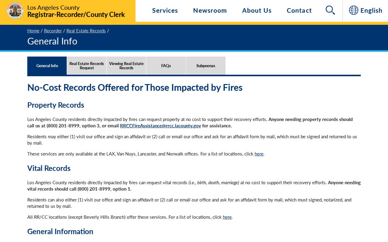
The recorder route is a custodian workflow, not a broad online street search.
The county's real-estate-records page also illustrates the copy and document path.
See the county real-estate-records access page for the current route and related forms.
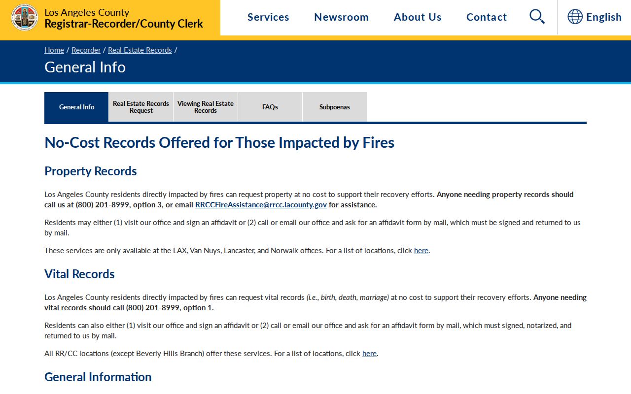
Use the document number, recording date, and legal description to keep a past-owner search tied to the right land.
Historic Pomona Streets in Criss-Cross Pages
Printed directories can supply the street angle that modern portals do not. In a reverse or criss-cross section, find the street name and move through house numbers. The entry may list an adult occupant, business, occupation, or household clue. Pomona's documented runs include individual editions from 1896 through 1951, with 1896 to 1945 microfilmed at the public library. Multi-city volumes require a check that the street is in the Pomona section.
A historical street directory is best used with census, newspaper, probate, and deed evidence. It can show that a name appeared at an address in a given edition, but publication lag, omissions, moves, and abbreviations can change the result. The broader collection and entry-reading method are in the Pomona city directory collection reference.
Pomona Permit and Tax Clues
Pomona planning, building, inspection, and code files can add a time stamp to an address. A permit may name an applicant, owner, contractor, architect, or agent. Those roles describe a project. They do not prove that the named person lived at the site. The City Clerk's Laserfiche collection covers agendas, minutes, ordinances, resolutions, and other legislative records; a missing record can move to a targeted CPRA request.
The Los Angeles County Treasurer and Tax Collector can supply bill or payment-status clues. Use the AIN and situs address, and keep the tax result separate from the deed and occupancy question. A street directory assembled from a permit, a tax bill, and an assessor parcel is still a set of leads, not a household list.
The county tax office provides a separate property-status route.
Open the Los Angeles County Treasurer and Tax Collector when tax status is part of the address question.
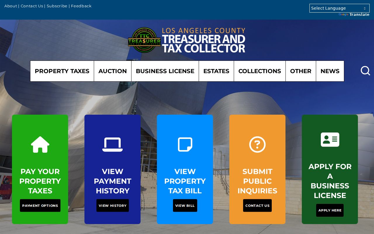
Tax status can help confirm the parcel key, while a deed or city file answers a different part of the story.
For a Pomona address that is missing from Laserfiche or a city search, make the request narrow. Name the department, address or AIN, record type, date range, and preferred electronic form. The City Clerk can locate an existing permit, planning file, code case, or packet when the request points to a real record. The California Public Records Act does not require the city to create a new street directory or decide who occupied a property.
What a Pomona Street Directory Cannot Show
No public record set supplies every person connected to a Pomona address. Deeds show recorded owners and parties. The voter tool omits people who are not registered and protects confidential voters. Directories omit many people and cover only their publication year. DMV and utility customer addresses are restricted. Permit files can name a contractor or representative instead of an occupant.
Lawful use. Pomona street and address records are suitable for personal, lawful research, family history, property curiosity, and civic work. Do not use them to stalk, harass, intimidate, impersonate, or harm anyone.
When a record stops, state the gap. Do not fill it with an inferred household, a scraped profile, or a protected address. A careful street directory remains useful because every claim stays tied to the source that can support it.